The Complete Guide to Drone Real Estate Photography
What aerial listing photography and video include, when they are worth it, and how to brief a drone photographer so the shoot is right first time.
Why listings use aerial imagery
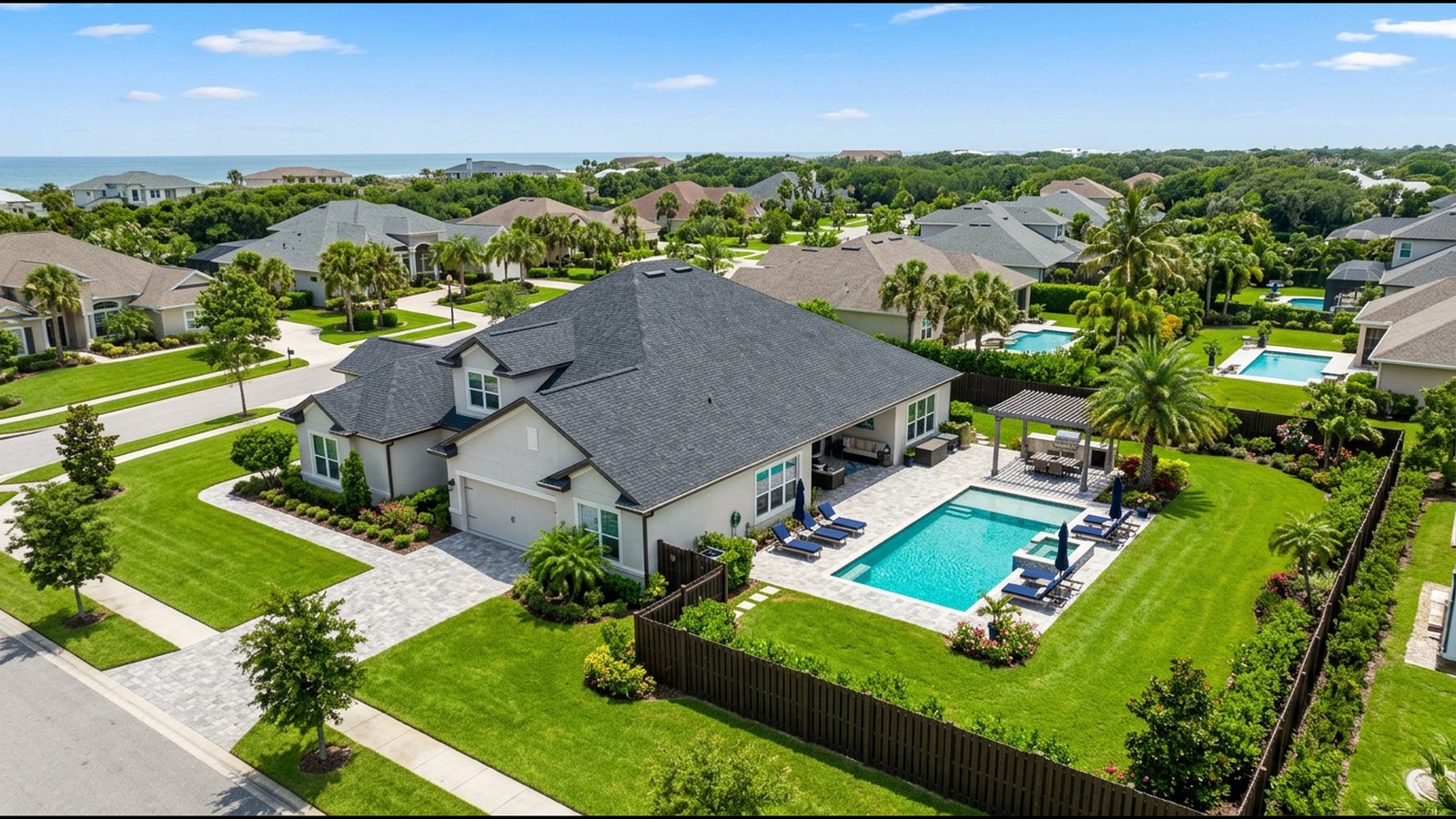
Aerial stills and video show what ground photos cannot: lot size and boundaries, the pool and outdoor living areas, the street and neighbourhood, nearby parks, water or views, and how the home sits on the land. They are most valuable for larger lots, acreage, luxury and waterfront homes, new developments and any property where location is a selling point.
What a typical package includes
Most providers offer a set of edited aerial stills (often 10 to 25 images), MLS-ready crops, and optional add-ons: a short cinematic video, vertical social cuts, twilight or dusk images, and bundles with interior photography or a 3D virtual tour. Ask exactly how many final images are delivered, in what sizes and how quickly.
Briefing the photographer
Share the address, the agent or seller contact, the best features to highlight, any areas to avoid (neighbours, unfinished landscaping), the preferred time of day, and where the images will be used (MLS, portals, social, print). Confirm who obtains property owner consent and whether nearby airspace needs authorisation.
Quality signals to look for
Look for a real property portfolio rather than stock imagery, straight verticals and natural colour, no sky replacement or edits that misrepresent the property, and consistent delivery times. Ask whether the operator holds an FAA Part 107 remote pilot certificate and current liability insurance.
Request quotes the easy way
Use our quote form to send the same property details, deliverables and turnaround to several local providers so you can compare like-for-like pricing.
Ready to compare providers?
Describe your project once and get quotes from suitable property drone providers.