Drone Photography & Roof Inspection Cost Guide
What drives the price of aerial listing photography, roof inspections and claims imaging — and how to compare quotes fairly.
Pricing is scope-driven
Prices vary by metro, property size, number of deliverables, editing level, travel and turnaround. A simple residential aerial still package is priced very differently from a cinematic luxury video, an annotated roof report or a claims documentation pack. Treat any published price as an indicative range, not a quote.
Real estate photography
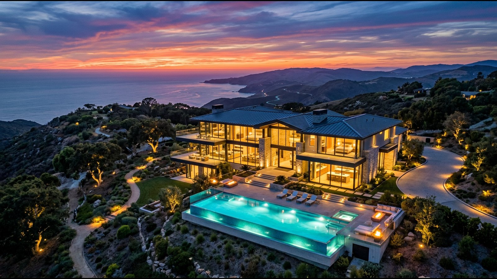
Cost drivers include the number of edited images, whether video is included, twilight shoots (which require a specific time window), bundling with interior photos or a 3D tour, and rush delivery. Agents with regular listings can often negotiate programme pricing.
Roof inspection and thermal imaging
Visual roof imaging is usually priced per property; annotated reports, roof measurements and orthomosaics add processing time; thermal inspections require suitable weather windows and interpretation skill. Commercial flat roofs are typically priced by area and complexity.
Insurance and storm work
Claims imaging is priced by property, by claim batch or by deployment for catastrophe events. Ask about file naming, geotag and timestamp handling, retention of unedited originals and turnaround, because these affect both price and usefulness to an adjuster.
How to compare quotes
Send every provider the same scope: property address and type, deliverables, turnaround and budget band. Ask what is excluded — travel, re-flights for weather, extra edits, report writing — and whether any work is subcontracted.
Ready to compare providers?
Describe your project once and get quotes from suitable property drone providers.